Before
A supervisor printed hundreds of worksheet pages and handed them out by ward. Crews couldn't tell which site to do first, and a text description often didn't match what was on the ground. Completed work was hand-written on the worksheet and re-keyed by the supervisor into the legacy system.
After, with Orcserve
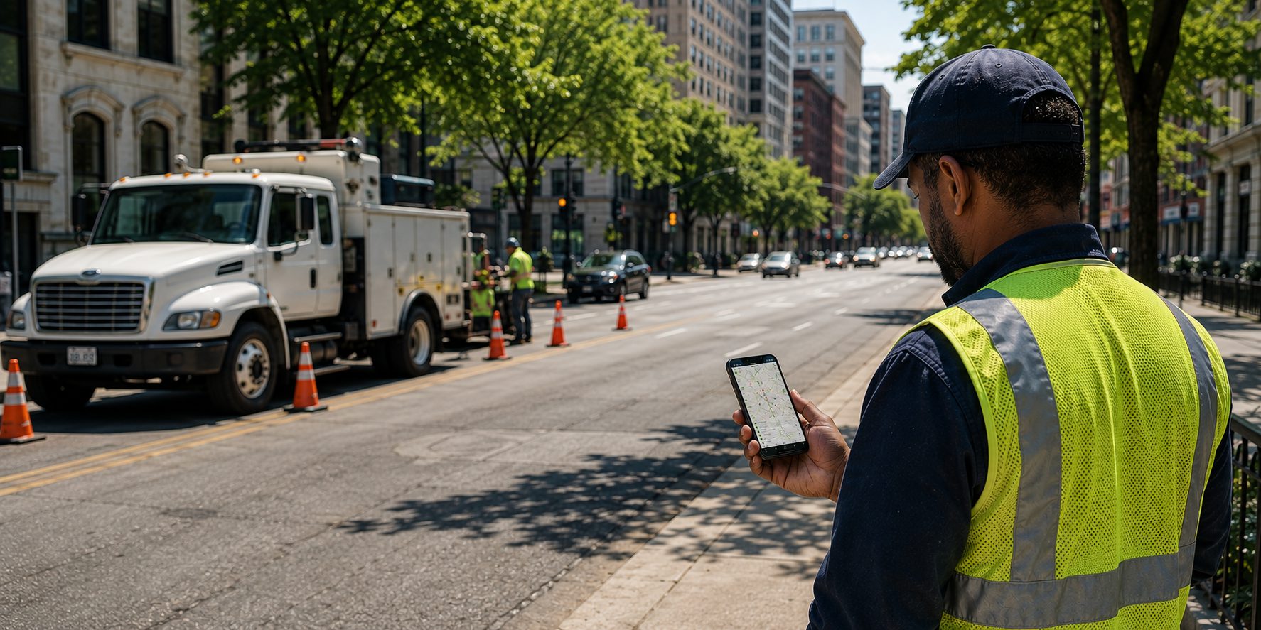
Each request flows from 311 onto Field Maps with the resident's and the inspector's photos attached, so crews see exactly what to do and where. They work it on a phone, attach their own completion photos, and the status and photos sync straight back to 311, to the resident. Supervisors can see where crews have been on the map.
photos on the mapprioritized routescrew trackingphoto back to requester
Outcome: no printing, no re-keying, clear prioritization, visual proof of work, faster closure, and a photo sent back to the person who reported it.